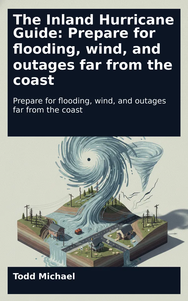
Read a sample: 1. The Hurricane Beyond the Coast
By the time a hurricane reaches an inland community, the most dramatic coastal images may already be fading from the news. The storm has crossed the shoreline. Its winds may have weakened, its familiar spiral may look less orderly, and its name may appear beside a different classification. For a household far from the coast, those changes can make the danger seem as though it belongs somewhere else.
Yet a tropical system does not have to remain a hurricane to disrupt life inland. Its rain can spread across valleys and towns far from the center. Its winds can bring down trees and power lines. Brief tornadoes can develop in its outer rainbands. Roads that were usable in the morning may become impassable later, and a power outage may continue after the worst weather has moved away.
These outcomes are not inevitable. Many inland communities experience a passing tropical system without severe local damage. The practical challenge is knowing which threats are plausible where you live and making decisions before deteriorating conditions narrow your options.
This chapter is an orientation to that challenge. It explains what happens when a tropical system moves inland, why the storm’s name and wind classification tell only part of the story, and how to look at a forecast without mistaking a single line on a map for the full extent of danger. Later chapters turn that understanding into a household plan.
A tropical cyclone is an organized, rotating weather system that develops over tropical or subtropical waters. It draws much of its energy from warm ocean water. As water evaporates from the ocean and rises in the atmosphere, it contributes to the thunderstorms that form the storm’s broad circulation.
Once the center moves over land, that supply of ocean energy is cut off or reduced. The land surface also creates more friction than the ocean does, disrupting the circulation near the ground. As a result, the system’s sustained winds generally weaken. A hurricane may become a tropical storm, then a tropical depression, or it may change into a different kind of weather system as it interacts with its surroundings.
Those labels describe important changes, but the transition is not a switch from dangerous to harmless. A weakening system can still carry abundant moisture. Its circulation can still produce strong gusts and feed bands of heavy rain. Its movement over hills and mountains can alter where rain falls and how quickly water reaches streams. Even after the circulation becomes less distinct, moisture associated with the system may continue to contribute to heavy rainfall.
The effects also vary from one storm to another. A fast-moving system may bring a shorter period of intense weather to a particular location. A slower-moving one may keep rain over the same area for longer. A storm may weaken steadily after landfall, or it may interact with other atmospheric features in ways that change its size, track, or rainfall pattern. Local terrain and conditions add another layer of variation.
That is why an inland forecast is not simply a diminished version of the coastal forecast. The hazards may change as the storm travels. Coastal storm surge, for example, is a major concern near vulnerable shorelines, while freshwater flooding may become a central concern well inland. Wind remains relevant in both places, but the particular trees, buildings, roads, and utilities exposed to it will differ.
Think of landfall as the beginning of a new phase of the same event. The storm is changing, and so are the questions households need to ask.
Hurricane categories are based on a storm’s maximum sustained winds. They provide a useful way to describe wind intensity, especially when assessing potential wind damage. They are not a complete rating of the storm’s rainfall, flood potential, tornado threat, geographic reach, or duration.
A storm with weaker sustained winds can still produce exceptionally heavy rain in some locations. Conversely, the greatest wind threat to a particular community may not coincide with the place receiving the most rain. A household can be outside the area of strongest winds and still face dangerous conditions.
For an inland reader, the useful question is therefore not only “What category is it?” but also “What is the forecast for my area, and what could those conditions disrupt?” A category can help describe the larger storm; local forecasts and warnings help explain the threats that matter to a particular town or county.
The distinction matters because a tropical system is not one uniform block of weather. Rainfall and wind vary across it and over time. One community may experience a difficult night of gusts and scattered outages, while another a relatively short distance away receives enough rain to flood roads. Neither experience fully describes the storm for everyone else.
A forecast map often gives the impression of a storm moving neatly along a line. The atmosphere is less tidy. Tropical systems can cover a broad area, with rainbands extending away from the center. Those bands can move, weaken, and redevelop. Some places receive repeated periods of heavy rain while nearby places receive less.
Inland hazards can also occur at different times. Wind may increase before the heaviest rain arrives. A stream may rise rapidly during intense rainfall, while a larger river may respond more slowly as water travels through its watershed. Power interruptions may begin during the storm and continue into the recovery period. A road can remain…