Read a sample: 1. Hurricane Wind at the Human Scale
The first sign in the hypothetical neighborhood is not a dramatic one. A loose leaf crosses a driveway. The branches at the end of the street begin to move together, then settle. A homeowner named Elena brings two lightweight chairs inside and notices that the wind is coming from a direction that usually leaves her front porch sheltered.
A hurricane is approaching the coast. Its center is still some distance away, but its circulation reaches across a broad area. As the storm moves closer, the wind does not simply turn on at full strength. It rises and falls, shifts direction, and interacts with every tree, fence, roofline, and opening in its path.
Elena’s neighbor, whose house faces a different direction, may notice a different sequence. A porch that felt protected early in the storm may become exposed later. A garage door that seemed to be on the quiet side of the house may face stronger wind as the circulation passes. Even two homes on the same block can experience the storm differently.
This imagined neighborhood will help us bring a large weather system down to the scale of a house. The goal is not to predict what happens to Elena’s home. It is to understand the forces at work and learn why useful preparation begins with better questions, not with a single number on a weather report.
A hurricane is an organized tropical cyclone with a rotating circulation and sustained winds strong enough to meet the hurricane threshold. Warm ocean water supplies energy to the larger weather system, while bands of clouds and thunderstorms spiral around its center.
In the Northern Hemisphere, hurricane winds circulate generally counterclockwise around the center. Near the surface, friction and other effects make the flow more complicated than a perfect circle. The storm itself is also moving, so the wind a neighborhood experiences depends in part on where the neighborhood is relative to the center and how the whole system travels.
Imagine looking down at Elena’s neighborhood on a map as the hypothetical hurricane approaches. At one point, the local wind may come from the east. Hours later, as the storm’s position changes, it may come from the north or another direction. The exact sequence depends on the storm’s track and the neighborhood’s position. There is no universal order of wind directions that applies to every house in every hurricane.
This change matters because a home is not equally exposed on every side. One wall may face open water or a broad, unobstructed lot. Another may sit behind neighboring buildings and mature vegetation. A roof has edges, corners, slopes, and perhaps overhangs, each presenting a different surface to moving air. As the wind shifts, the locations of the strongest effects can shift too.
If the storm’s center passes close enough, some people may experience the eye: a region near the center where winds can be comparatively lighter. Conditions in an eye vary, and not every location in a hurricane experiences one. The dangerous winds around it can return, potentially from a substantially different direction. A lull is therefore not a reliable sign that the storm has ended. Official local information, rather than a moment of quiet outside, should guide decisions about when conditions have improved.
When people hear a reported wind speed, it is natural to picture a steady stream of air pressing against a house. Real wind is more irregular. Its speed and direction fluctuate, sometimes over very short periods.
A gust is a brief increase in wind speed. Between gusts, the wind may ease without becoming harmless. During a hurricane, a house can experience many such fluctuations, with stronger bursts arriving from changing angles.
A sustained wind is measured or estimated over a specified averaging period. In U.S. hurricane reporting, the familiar maximum sustained wind refers to a one-minute average, conventionally described at a standard height over open exposure. It is not the highest momentary gust, and it is not a promise that every location within the storm is experiencing that speed.
Think of an average as a way to describe a changing flow, not as a description of every instant. A sustained-wind value helps meteorologists communicate the general strength of a storm. Gust information helps describe the shorter bursts that can also matter to buildings, trees, vehicles, and people.
The distinction is important at Elena’s house. Suppose a weather report describes strong sustained wind in the region. At the house, the wind fluctuates as it passes around nearby buildings and vegetation. A brief gust may load a roof edge more heavily than the wind did a moment earlier. The next gust may arrive at a slightly different angle. The regional report provides essential context, but it cannot describe every fluctuation at every part of Elena’s property.
Wind instruments also have locations and surroundings. A measurement at an airport, on a coastal tower, or at another observing site is valuable evidence of conditions there. It should not automatically be treated as an exact measurement at a particular roof, window, or backyard. The instrument’s height, exposure, and surroundings can differ from those of the home.
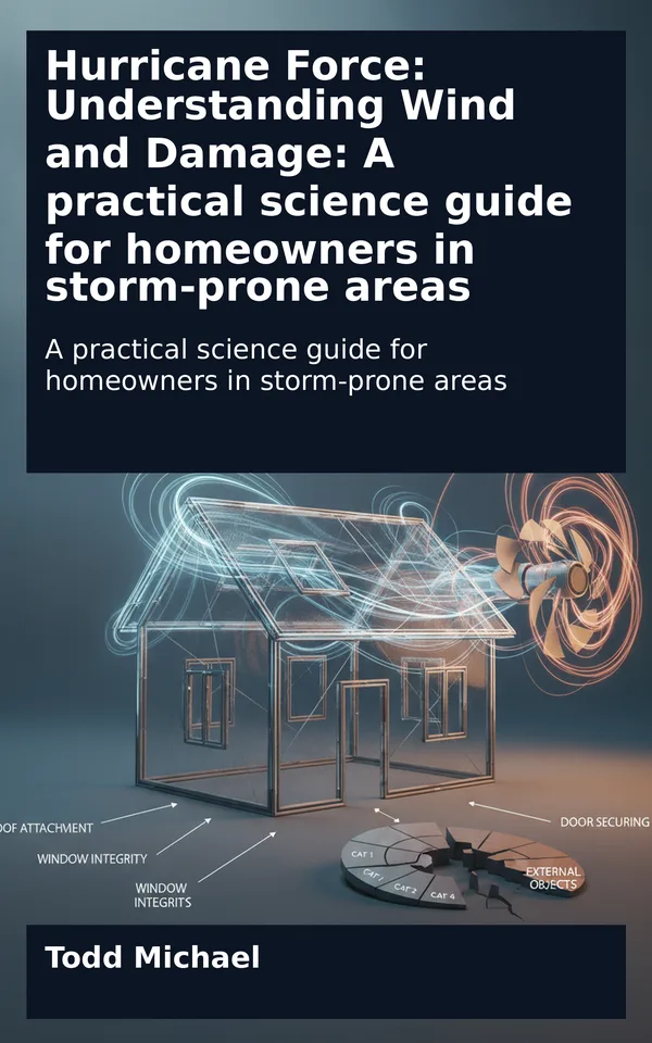
A house standing in wind is not simply being pushed like a box across a floor. Air flows toward it, around its sides, over its roof, and past its corners. In doing so, it creates areas of differing pressure.
Some surfaces experience pressure directed inward. Others can experience pressure…